Mt. Vernon, Illinois
- Details
- Category: Comprehensive Plans

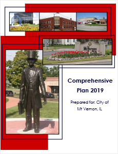
Keith Moran worked with the City of Mt. Vernon in the creation of a Comprehensive Plan. This is was considered a new Plan for Mt. Vernon since the first Plan was done in 1963 and features extensive community interviews, surveying, public meetings, and consulting with Corporate Authorities to determine the City’s private and public needs. The Planning entails all of the above tasks and additionally includes:
- Full socio-economic and demographic data gathering, analysis, and data chart generation; benchmarking to past census counts to demonstrate trending; Jefferson County cross-referencing as regards both base numbers and trends;
- Creation of detailed charts focusing on a specific comparable data trend (a single comparison of data which either compares the City against itself over time, or compares the City of Mt. Vernon to either surrounding communities or Jefferson County for a specific year); written analysis and graphics depicting what this information means vis-à-vis the City’s current and future position in the marketplace;
- Creation of goals, objectives, and policies for the City (in conjunction with the City Council), and Future Land Use maps, all used to guide the City and its future development and redevelopment; additional maps used in the creation of a Capital Improvement Plan and a Plan for Public Spaces.
- Land use categorization (by parcel) for the City, mapping, parcel ownership, housing stock and condition, and Equalized Assessed Valuation information.

